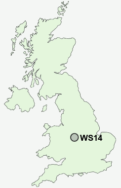
Postcode : WS14, Staffordshire
Postcodes in the WS14 sector. Covering areas such as Whittington, Footherley, Wall, Little Hay, Chesterfield, Aldershawe, Hilton, Weeford, Shenstone Woodend, Muckley Corner, Sandfields, Shenstone, Lynn, Boley Park and Staffordshire.
Postcode Area WS : Walssal
WS14 Postcode Sectors
WS14 Nearby Postcode Districts
B74 B75 B77 B78 B79 CV13 CV9 DE12 LE65 ST19 WS1 WS11 WS12 WS13 WS14 WS15 WS2 WS3 WS4 WS5 WS6 WS7 WS8 WS9 WV1 WV10 WV11 WV12 WV13 WV2 WV3 WV4 WV6 WV8 WV9
Stations near to WS14
Lichfield City Rail Station about 1.28 miles away.Lichfield Trent Valley High Level Rail Station about 1.75 miles away.
Lichfield Trent Valley Rail Station about 1.75 miles away.
Shenstone Rail Station about 2.07 miles away.
WS14 Schools
King Edward VI SchoolSt Joseph's Catholic Primary School
Christ Church CofE (C) Primary School
Lichfield Cathedral School
Scotch Orchard Primary School
Greysbrooke Primary School
UK Search
Antique Furniture
1000s of pieces of Antique Furniture for sale from British antique dealers.