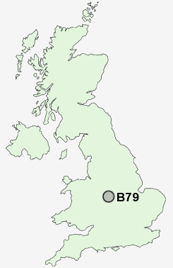
Postcode : B79, Staffordshire
Postcodes in the B79 sector. Covering areas such as Little Warton, Thorpe Constantine, No Man's Heath, Borough Park, Perry Crofts, Edingale, The Alders, Comberford, Seckington, Haunton, Harlaston, The Leys, Shuttington, Gillway and Staffordshire in Warwickshire.
Postcode Area B : Birmingham
B79 Postcode Sectors
B79 0 Alvecote, Clifton Campville, Little Warton, Newton Regis, No Man's Heath
B79 8 Borough Park, Leyfields
B79 8 Borough Park, Leyfields
B79 9 Comberford, Edingale, Elford, Harlaston, Haunton
B79 7 Coton, Gillway, Perry Crofts, The Alders, The Leys
B79 7 Coton, Gillway, Perry Crofts, The Alders, The Leys
B79 Nearby Postcode Districts
B72 B73 B74 B75 B77 B78 B79 CV13 CV9 DE12 LE65 LE67 LE9 WS1 WS10 WS11 WS12 WS13 WS14 WS2 WS3 WS4 WS5 WS6 WS7 WS8 WS9 WV11 WV12 WV13 WV14
Stations near to B79
Tamworth High Level Rail Station about 0.89 miles away.Tamworth Rail Station about 0.89 miles away.
Wilnecote (Staffs) Rail Station about 2.71 miles away.
B79 Schools
Ashcroft Infants' SchoolFlax Hill Junior School
Lark Hall Community Infant School
Ankermoor Primary School
Moorgate Community Primary School
Coton Green Primary School
Florendine Primary School
The Woodlands Community Primary School
UK Search
Antique Clocks
Browse Antique Clocks for sale from British antique dealers.