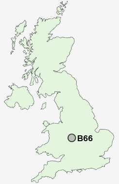
Postcode : B66, Sandwell, West Midlands
Postcodes in the B66 sector. Covering areas such as Sandwell, Smethwick and Sandwell in West Midlands.
Postcode Area B : Birmingham
B66 Postcode Sectors
B66 Nearby Postcode Districts
B1 B10 B11 B12 B13 B14 B15 B16 B17 B18 B19 B2 B20 B21 B23 B24 B25 B26 B27 B28 B29 B3 B30 B31 B32 B33 B34 B35 B36 B37 B38 B4 B40 B42 B43 B44 B46 B5 B6 B62 B63 B64 B65 B66 B67 B68 B69 B7 B70 B71 B72 B73 B74 B75 B76 B8 B9 B90 B91 B92 CV4 DY1 DY2 DY3 DY4 DY5 DY6 DY7 DY8 DY9 WS1 WS10 WS2 WS5 WV1 WV13 WV14 WV2 WV3 WV4 WV5
Stations near to B66
Smethwick Rolfe Street Rail Station about 0.36 miles away.The Hawthorns Rail Station about 0.86 miles away.
Smethwick Galton Bridge High Level Rail Station about 0.92 miles away.
Smethwick Galton Bridge Rail Station about 0.92 miles away.
Langley Green Rail Station about 1.72 miles away.
Sandwell & Dudley Rail Station about 2.27 miles away.
Hamstead (Birmingham) Rail Station about 3.01 miles away.
University Rail Station about 3.11 miles away.
B66 Schools
Victoria Park PrimaryCape Primary School
Shireland Collegiate Academy
Shireland Hall Junior and Infant School
Sandwell Academy
Sandwell Academy
James Watt Primary School
Bristnall Hall Technology College
Bleakhouse Junior School
UK Search
Antique Clocks
Browse Antique Clocks for sale from British antique dealers.