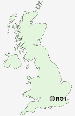
Postcode : RG1, Reading, Berkshire
Postcodes in the RG1 sector. Covering areas such as Easthampstead, Crown Wood, Longlane, Curridge, New Town, Charvil, Hell Corner, Ashmore Green, Wargrave, Leverton, Hare Hatch, Avington, Templeton, Kintbury, Turner's Green, Bracknell Forest, West Berkshire, Wokingham and Reading in Hampshire, Wiltshire.
Postcode Area RG : Reading
RG1 Postcode Sectors
RG1 Nearby Postcode Districts
GU19 GU20 GU25 RG1 RG10 RG12 RG14 RG18 RG19 RG2 RG20 RG30 RG31 RG4 RG40 RG41 RG42 RG45 RG5 RG6 RG7 RG8 RG9 SL1 SL2 SL4 SL5 SL6
Stations near to RG1
Reading Rail Station about 0.31 miles away.Reading Rail Station about 0.35 miles away.
Reading Rail Station about 0.35 miles away.
Reading West Rail Station about 0.91 miles away.
RG1 Schools
Katesgrove Primary SchoolColey Primary School
E P Collier Primary School
Battle Primary School
Caversham Primary School
Alfred Sutton Primary School
Micklands Primary School
UK Search
Antique Furniture
1000s of pieces of Antique Furniture for sale from British antique dealers.