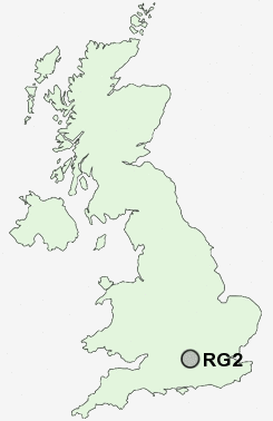
Postcode : RG2, Reading, Berkshire
Postcodes in the RG2 sector. Covering areas such as Pamber End, Catmore, Wootton St Lawrence, Hartley Wintney, Ashansworth, Elcot, Quidhampton, Burghclere Common, Heath End, Stanmore, Chaddleworth, Ellisfield, Egypt, Hartfordbridge, Halfway, Hampshire, Reading and West Berkshire.
Postcode Area RG : Reading
RG2 Postcode Sectors
RG2 9 Arborfield, Arborfield Cross, Arborfield Garrison, Langley Common, Schoolgreen
RG2 0 Coley, Whitley
RG2 0 Coley, Whitley
RG2 Nearby Postcode Districts
GU15 GU17 GU18 GU19 GU20 GU24 GU25 GU46 GU47 RG1 RG10 RG12 RG14 RG18 RG19 RG2 RG20 RG26 RG30 RG31 RG4 RG40 RG41 RG42 RG45 RG5 RG6 RG7 RG8 SL1 SL4 SL5 SL6
Stations near to RG2
Earley Rail Station about 1.87 miles away.Reading Rail Station about 2.27 miles away.
Reading Rail Station about 2.31 miles away.
Reading Rail Station about 2.31 miles away.
Reading West Rail Station about 2.48 miles away.
RG2 Schools
John Madejski AcademyJohn Madejski Academy
Whiteknights Primary School
Hillside Primary School
Radstock Primary School
Aldryngton Primary School
Maiden Erlegh School
Shinfield Infant and Nursery School
Alfred Sutton Primary School
Katesgrove Primary School
Coley Primary School
UK Search
Antique Furniture
1000s of pieces of Antique Furniture for sale from British antique dealers.