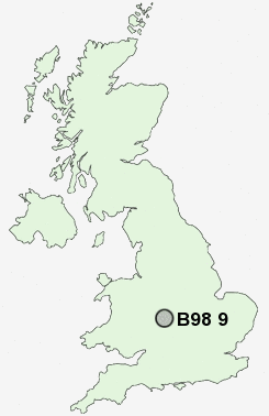
Postcode : B98 9, Worcestershire
Postcodes in the B98 9 district. Covering areas such as Gorcott Hill, Baylis Green, Pink Green, Holt End, Beoley, Carpenter's Hill, Heath Green, Branson's Cross, Church Hill, Moon's Moat and Worcestershire in Warwickshire.
Postcode Area B : Birmingham
B98 Postcode Sectors
B98 9 Baylis Green, Beoley, Branson's Cross, Carpenter's Hill, Church Hill
B98 7 Greenlands, Lodge Park, Woodrow
B98 7 Greenlands, Lodge Park, Woodrow
B98 0 Ipsley, Matchborough, Washford, Winyates, Winyates Green
B98 8 Lakeside, Redditch, Riverside, Smallwood
B98 8 Lakeside, Redditch, Riverside, Smallwood
B98 9 Nearby Postcode Districts
B14 B30 B31 B38 B45 B47 B48 B60 B61 B80 B90 B91 B93 B94 B95 B96 B97 B98 CV1 CV3 CV31 CV32 CV33 CV34 CV35 CV4 CV5 CV8 DY10 DY11 WR9
Stations near to B98 9
Wood End Rail Station about 1.95 miles away.The Lakes Rail Station about 2.81 miles away.
Earlswood (West Midlands) Rail Station about 3.05 miles away.
B98 9 Schools
Beoley First SchoolAbbeywood First School
Redditch, Church Hill Middle School
Moons Moat First School
Redditch, Dingleside Middle School
Tenacres First School
Roman Way First School
Mappleborough Green CofE Primary School
UK Search
Antique Clocks
Browse Antique Clocks for sale from British antique dealers.