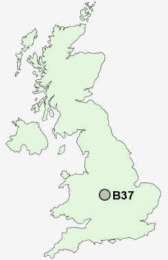
Postcode : B37, Solihull, West Midlands
Postcodes in the B37 sector. Covering areas such as Chelmsley Wood, Fordbridge, Kingshurst, Marston Green, Bacon's End and Solihull in West Midlands.
Postcode Area B : Birmingham
B37 Postcode Sectors
B37 Nearby Postcode Districts
B1 B10 B11 B12 B13 B14 B15 B16 B17 B18 B19 B2 B20 B21 B23 B24 B25 B26 B27 B28 B29 B3 B30 B31 B32 B33 B34 B35 B36 B37 B38 B4 B40 B42 B43 B44 B45 B46 B47 B5 B6 B62 B63 B64 B65 B66 B67 B68 B69 B7 B70 B71 B72 B73 B75 B76 B8 B9 B90 B91 B92 B93 CV1 CV10 CV11 CV12 CV2 CV3 CV4 CV5 CV6 CV7 DY1 DY2 DY3 DY4 DY5 DY9 LE10 WS10 WS5 WV14 WV2
Stations near to B37
Marston Green Rail Station about 0.97 miles away.Lea Hall Rail Station about 1.9 miles away.
Birmingham International Rail Station about 1.98 miles away.
Water Orton Rail Station about 2.81 miles away.
Coleshill Parkway Rail Station about 3 miles away.
Hampton-in-Arden Rail Station about 3.8 miles away.
B37 Schools
The City Technology CollegeGrace Academy Solihull
Grace Academy Solihull
Fordbridge Community Primary School
Kingshurst Primary School
Smith's Wood Sports College
The Coleshill School - a Maths and Computing College
Mapledene Primary School
UK Search
Antique Clocks
Browse Antique Clocks for sale from British antique dealers.