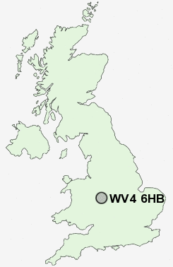
Postcode : WV4 6HB, Parkfield, Wolverhampton, West Midlands
Dimmock Street, Wolverhampton.
WV4 6HB close to Parkfield, Ettingshall Park, Lanesfield, Ettingshall and Goldthorn Park.
Classification
WV4 6HB : Multicultural metropolitans / Asian traits / Achieving minorities
Local Authority Wolverhampton
Primary Care Trust Wolverhampton City
Ward Ettingshall
Constituency Wolverhampton South East
Region West Midlands
Country England
Postcode Area WV : Wolverhampton
WV4 Postcode Sectors
WV4 6HB Nearby Postcode Districts
B1 B10 B15 B16 B18 B19 B2 B20 B21 B23 B24 B3 B33 B34 B35 B36 B37 B4 B42 B43 B44 B5 B6 B64 B65 B66 B67 B68 B69 B7 B70 B71 B72 B73 B74 B75 B76 B8 B9 DY1 DY2 DY3 DY4 DY5 DY6 DY7 TF11 TF12 TF3 TF4 TF7 TF8 WS1 WS10 WS14 WS2 WS3 WS4 WS5 WS6 WS8 WS9 WV1 WV10 WV11 WV12 WV13 WV14 WV15 WV16 WV2 WV3 WV4 WV5 WV6 WV7 WV8 WV9
Stations near to WV4 6HB
Wolverhampton Rail Station about 1.59 miles away.Coseley Rail Station about 1.78 miles away.
Tipton Rail Station about 3.09 miles away.
WV4 6HB Schools
Parkfield High SchoolLanesfield Primary School
Hill Avenue Primary School
Colton Hills Community School
Manor Primary School
Eastfield Primary School
Villiers Primary School
St Matthias School
Stow Heath Primary School
Stow Heath Junior School
UK Search
Antique Furniture
1000s of pieces of Antique Furniture for sale from British antique dealers.