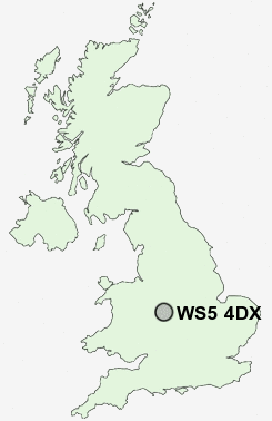
Postcode : WS5 4DX, Walsall, West Midlands
Birchfield Way, Walsall.
Classification
WS5 4DX : Multicultural metropolitans / Rented family living / Social renting young families
Local Authority Sandwell
Primary Care Trust Sandwell
Ward Great Barr with Yew Tree
Constituency West Bromwich East
Region West Midlands
Country England
Postcode Area WS : Walssal
WS5 Postcode Sectors
WS5 4DX Nearby Postcode Districts
B1 B10 B15 B16 B18 B19 B2 B20 B21 B23 B24 B25 B3 B33 B34 B35 B36 B37 B4 B42 B43 B44 B46 B5 B6 B64 B65 B66 B67 B68 B69 B7 B70 B71 B72 B73 B74 B75 B76 B77 B78 B79 B8 B9 CV9 DY1 DY2 DY3 DY4 DY5 DY6 DY7 WS1 WS10 WS2 WS3 WS4 WS5 WS6 WS8 WS9 WV1 WV10 WV11 WV12 WV13 WV14 WV2 WV3 WV4 WV5 WV6 WV7 WV8 WV9
Stations near to WS5 4DX
Tame Bridge Parkway Rail Station about 1.04 miles away.Bescot Stadium Rail Station about 1.5 miles away.
Walsall Rail Station about 2.02 miles away.
Hamstead (Birmingham) Rail Station about 2.36 miles away.
WS5 4DX Schools
Delves Infant SchoolDelves Junior School
Whitehall Junior Community School
Joseph Leckie Community Technology College
Grove Vale Primary School
Whitehall Nursery and Infant School
Caldmore Village Primary School
Palfrey Junior School
Palfrey Infant School
UK Search
Antique Furniture
1000s of pieces of Antique Furniture for sale from British antique dealers.