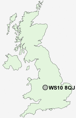
Postcode : WS10 8QJ, Darlaston, Sandwell, West Midlands
Wednesbury, West Midlands.
WS10 8QJ close to Wednesbury, The Lunt, Woods Bank and Darlaston Green.
Classification
WS10 8QJ : Hard-pressed living / Migration and churn / Hard-pressed ethnic mix
Local Authority Walsall
Primary Care Trust Walsall Teaching
Ward Darlaston South
Constituency Walsall South
Region West Midlands
Country England
Postcode Area WS : Walssal
WS10 Postcode Sectors
WS10 8 Darlaston, Darlaston Green, The Lunt, Woods Bank
WS10 8QJ Nearby Postcode Districts
B1 B10 B16 B18 B19 B2 B20 B21 B23 B24 B3 B33 B34 B35 B36 B37 B4 B42 B43 B44 B46 B5 B6 B64 B65 B66 B67 B68 B69 B7 B70 B71 B72 B73 B74 B75 B76 B77 B78 B79 B8 B9 DY1 DY2 DY3 DY4 DY5 DY6 TF11 TF3 TF7 WS1 WS10 WS14 WS2 WS3 WS4 WS5 WS6 WS8 WS9 WV1 WV10 WV11 WV12 WV13 WV14 WV15 WV16 WV2 WV3 WV4 WV5 WV6 WV7 WV8 WV9
Stations near to WS10 8QJ
Coseley Rail Station about 2.27 miles away.Tipton Rail Station about 2.8 miles away.
Dudley Port Rail Station about 3.13 miles away.
Bloxwich Rail Station about 3.71 miles away.
WS10 8QJ Schools
Field View Primary SchoolLoxdale Primary School
Villiers Primary School
Wilkinson Primary School
Stow Heath Junior School
Stow Heath Primary School
Stowlawn Primary School
Fibbersley Park Primary School
St Matthias School
UK Search
Antique Furniture
1000s of pieces of Antique Furniture for sale from British antique dealers.