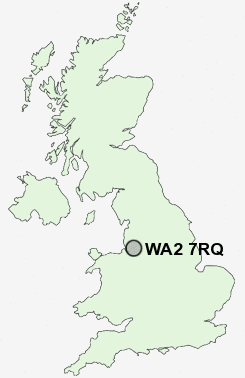
Postcode : WA2 7RQ, Warrington, Cheshire
O'Leary Street, Warrington.
WA2 7RQ close to Orford, Longford and Blackwood.
Classification
WA2 7RQ : Hard-pressed living / Challenged terraced workers / Deprived blue-collar terraces
Local Authority Warrington
Primary Care Trust Warrington
Ward Fairfield and Howley
Constituency Warrington North
Region North West
Country England
Postcode Area WA : Warrington
WA2 Postcode Sectors
WA2 0 Blackwood, Cinnamon Brow, Fearnhead, Houghton Green, Longbarn
WA2 8 Hermitage Green, Longford, Winwick
WA2 8 Hermitage Green, Longford, Winwick
WA2 7RQ Nearby Postcode Districts
CH62 L1 L10 L11 L12 L13 L14 L15 L16 L17 L18 L19 L24 L25 L26 L27 L28 L30 L32 L33 L34 L35 L36 L4 L5 L6 L69 L7 L70 L8 L9 M1 M12 M13 M14 M15 M16 M17 M19 M2 M20 M21 M22 M23 M3 M30 M31 M32 M33 M4 M41 M44 M5 M6 M60 M90 SK8 SK9 WA1 WA10 WA11 WA12 WA13 WA14 WA15 WA16 WA2 WA3 WA4 WA5 WA7 WA8 WA9 WN4 WN7
Stations near to WA2 7RQ
Warrington Central Rail Station about 0.81 miles away.Padgate Rail Station about 1.05 miles away.
Warrington Bank Quay Rail Station about 1.36 miles away.
WA2 7RQ Schools
Beamont Community Primary SchoolWilliam Beamont Community High School
Brook Acre Community Primary School
Padgate Community High School
Bruche Community Primary School
Longbarn Community Primary School
Callands Community Primary School
UK Search
Antique Furniture
1000s of pieces of Antique Furniture for sale from British antique dealers.