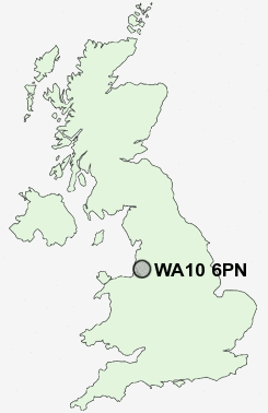
Postcode : WA10 6PN, Denton's Green, St Helens, Merseyside
St Helens, Saint Helens, Merseyside.
WA10 6PN close to Denton's Green, St Helens, Newtown and West Park.
Classification
WA10 6PN : Hard-pressed living / Migration and churn / Young hard-pressed families
Local Authority St. Helens
Primary Care Trust Halton and St Helens
Ward Windle
Constituency St Helens North
Region North West
Country England
Postcode Area WA : Warrington
WA10 Postcode Sectors
WA10 6PN Nearby Postcode Districts
BL3 BL4 BL5 CH41 CH42 CH43 CH44 CH45 CH46 CH49 L1 L10 L11 L12 L13 L14 L15 L16 L17 L18 L2 L20 L21 L22 L23 L25 L27 L28 L29 L3 L30 L31 L32 L33 L34 L35 L36 L37 L38 L39 L4 L5 L6 L69 L7 L70 L8 L9 M28 M29 M30 M31 M38 M41 M44 M46 WA1 WA10 WA11 WA12 WA13 WA14 WA2 WA3 WA5 WA8 WA9 WN1 WN2 WN3 WN4 WN5 WN7 WN8
Stations near to WA10 6PN
St Helens Central Rail Station about 1.2 miles away.Thatto Heath Rail Station about 2.04 miles away.
Eccleston Park Rail Station about 2.7 miles away.
Lea Green Rail Station about 2.88 miles away.
Rainhill Rail Station about 3.42 miles away.
Prescot Rail Station about 3.54 miles away.
WA10 6PN Schools
Cowley International CollegeRivington Primary School
Bleak Hill Primary School
Merton Bank Primary School
Carr Mill Primary School
Eccleston Mere Primary School
Allanson Street Primary School
UK Search
Antique Furniture
1000s of pieces of Antique Furniture for sale from British antique dealers.