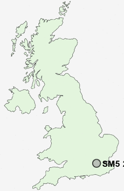
Postcode : SM5 2SG, Carshalton, Greater London, Sutton, Greater London
Carshalton, Greater London, England.
SM5 2SG close to The Wrythe, St Helier and Rosehill.
Classification
SM5 2SG : Hard-pressed living / Migration and churn / Hard-pressed ethnic mix
Local Authority Sutton
Primary Care Trust Sutton and Merton
Ward The Wrythe
Constituency Carshalton and Wallington
Region London
Country England
Postcode Area SM : Sutton
SM5 Postcode Sectors
SM5 2SG Nearby Postcode Districts
BR1 BR2 BR3 BR4 BR5 BR6 BR7 BR8 CR0 CR2 CR3 CR4 CR5 CR6 CR7 CR8 DA1 DA14 DA15 DA16 DA5 DA6 DA7 GU22 GU23 GU25 KT1 KT10 KT11 KT12 KT13 KT14 KT15 KT16 KT17 KT18 KT19 KT2 KT20 KT21 KT22 KT23 KT3 KT4 KT5 KT6 KT7 KT8 KT9 SE12 SE13 SE15 SE19 SE20 SE21 SE22 SE23 SE24 SE25 SE26 SE27 SE3 SE4 SE5 SE6 SE9 SM1 SM2 SM3 SM4 SM5 SM6 SM7 SW11 SW12 SW14 SW15 SW16 SW17 SW18 SW19 SW2 SW20 SW4 SW9 TN13 TN14 TN16 TW1 TW10 TW11 TW12 TW13 TW14 TW15 TW16 TW17 TW18 TW19 TW2 TW20 TW3 TW4 TW6 TW7 TW9
Stations near to SM5 2SG
Carshalton Rail Station about 0.47 miles away.Hackbridge Rail Station about 0.87 miles away.
Carshalton Beeches Rail Station about 1.14 miles away.
Mitcham Junction Rail Station about 1.47 miles away.
Cheam Rail Station about 2.18 miles away.
Belmont Rail Station about 2.36 miles away.
Mitcham Eastfields Rail Station about 2.47 miles away.
Banstead Rail Station about 3.53 miles away.
SM5 2SG Schools
Rushy Meadow Primary SchoolCarshalton Boys Sports College
Carshalton High School for Girls
Tweeddale Primary School
Robin Hood Junior School
Beddington Infants' School
Westbourne Primary School
UK Search
Antique Furniture
1000s of pieces of Antique Furniture for sale from British antique dealers.