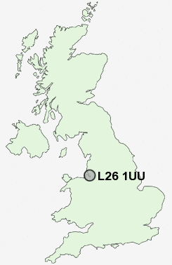
Postcode : L26 1UU, Halewood, Knowsley, Merseyside
The Avenue, Halewood, Liverpool.
Classification
L26 1UU : Hard-pressed living / Hard pressed ageing workers / Ageing industrious workers
Local Authority Knowsley
Primary Care Trust Knowsley
Ward Halewood South
Constituency Garston and Halewood
Region North West
Country England
Postcode Area L : Liverpool
L26 Postcode Sectors
L26 1UU Nearby Postcode Districts
CH41 CH42 CH43 CH44 CH45 CH46 CH47 CH48 CH49 CH60 CH61 CH62 CH63 CH64 CH65 CH66 L1 L11 L12 L13 L14 L15 L16 L17 L18 L19 L2 L20 L24 L25 L26 L27 L28 L3 L34 L35 L36 L4 L5 L6 L69 L7 L70 L8 L9 WA1 WA10 WA12 WA13 WA2 WA3 WA4 WA5 WA6 WA7 WA8 WA9
Stations near to L26 1UU
Halewood Rail Station about 0.4 miles away.Hunts Cross Rail Station about 0.7 miles away.
Liverpool South Parkway Rail Station about 2.08 miles away.
Liverpool South Parkway Rail Station about 2.08 miles away.
Huyton Rail Station about 3.28 miles away.
Roby Rail Station about 3.37 miles away.
L26 1UU Schools
Yew Tree Community Primary School (With Designated Special Provision)Plantation Primary School
Hunts Cross Primary School
Parklands High School
Middlefield Community Primary School
Woolton Junior School
Woolton Infants' School
Stockton Wood Community Primary School
Norman Pannell School
UK Search
Antique Jewellery
including Antique Engagement Rings for sale from UK Antique specialists.