Postcode : L24 7SF, Liverpool, Merseyside
Alderfield Drive, Liverpool, England.
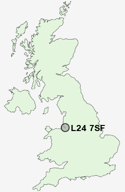
L24 7SF close to Speke and Hale.
Classification
L24 7SF : Hard-pressed living / Migration and churn / Young hard-pressed families
Local Authority Liverpool
Primary Care Trust Liverpool
Ward Speke-Garston
Constituency Garston and Halewood
Region North West
Country England
Postcode Area L : Liverpool
L24 Postcode Sectors
L24 7SF Nearby Postcode Districts
CH41 CH42 CH43 CH44 CH45 CH46 CH47 CH48 CH49 CH6 CH60 CH61 CH62 CH63 CH64 CH65 CH66 CW8 CW9 L1 L12 L13 L14 L15 L16 L17 L18 L19 L2 L24 L25 L26 L27 L28 L3 L34 L35 L36 L4 L5 L6 L69 L7 L70 L8 M44 WA1 WA13 WA2 WA4 WA5 WA6 WA7 WA8 WA9
Stations near to L24 7SF
Halewood Rail Station about 1.63 miles away.Hunts Cross Rail Station about 1.92 miles away.
Hough Green Rail Station about 2.9 miles away.
L24 7SF Schools
St Ambrose Catholic Primary SchoolMiddlefield Community Primary School
Parklands High School
Stockton Wood Community Primary School
Halewood College
St Mark's Catholic Primary School
Yew Tree Community Primary School (With Designated Special Provision)
St Andrew the Apostle Catholic Primary School
Hunts Cross Primary School
Plantation Primary School
Halewood CofE Primary School
UK Search
Antique Jewellery
including Antique Engagement Rings for sale from UK Antique specialists.