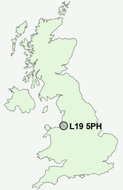
Postcode : L19 5PH, Garston, Liverpool, Merseyside
Kinsale Drive, Allerton, Liverpool.
L19 5PH close to Garston and Grassendale.
Classification
L19 5PH : Hard-pressed living / Migration and churn / Hard-pressed ethnic mix
Local Authority Liverpool
Primary Care Trust Liverpool
Ward Allerton and Hunts Cross
Constituency Garston and Halewood
Region North West
Country England
Postcode Area L : Liverpool
L19 Postcode Sectors
L19 5PH Nearby Postcode Districts
CH41 CH42 CH43 CH44 CH45 CH46 CH47 CH48 CH49 CH60 CH61 CH62 CH63 CH64 CH65 CH66 CH8 CW9 L1 L11 L12 L13 L14 L15 L16 L17 L18 L19 L2 L20 L24 L25 L26 L27 L28 L3 L34 L35 L36 L4 L5 L6 L69 L7 L70 L8 WA1 WA10 WA12 WA2 WA3 WA4 WA5 WA6 WA7 WA8 WA9
Stations near to L19 5PH
Liverpool South Parkway Rail StationLiverpool South Parkway Rail Station
Cressington Rail Station about 0.98 miles away.
West Allerton Rail Station about 1.06 miles away.
Hunts Cross Rail Station about 1.35 miles away.
Aigburth Rail Station about 1.66 miles away.
Mossley Hill Rail Station about 1.81 miles away.
Broad Green Rail Station about 3.33 miles away.
L19 5PH Schools
New Heys Comprehensive SchoolBanks Road Primary School
Booker Avenue Infant School
Booker Avenue Junior School
Woolton Junior School
Calderstones School
UK Search
Antique Jewellery
including Antique Engagement Rings for sale from UK Antique specialists.