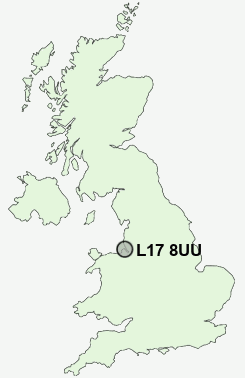
Postcode : L17 8UU, Liverpool, Merseyside
Lark Lane, Liverpool.
L17 8UU close to Dingle, St Michael's Hamlet and Aigburth.
Classification
L17 8UU : Cosmopolitans / Students around campus / Students and professionals
Local Authority Liverpool
Primary Care Trust Liverpool
Ward St Michael's
Constituency Liverpool, Riverside
Region North West
Country England
Postcode Area L : Liverpool
L17 Postcode Sectors
L17 8UU Nearby Postcode Districts
CH41 CH42 CH43 CH44 CH45 CH46 CH47 CH48 CH49 CH60 CH61 CH62 CH63 CH64 L1 L10 L11 L12 L13 L14 L15 L16 L17 L18 L19 L2 L20 L21 L22 L24 L25 L26 L27 L28 L3 L32 L34 L35 L36 L4 L5 L6 L69 L7 L70 L8 L9 WA1 WA10 WA11 WA12 WA2 WA3 WA4 WA5 WA7 WA8 WA9
Stations near to L17 8UU
Brunswick Rail Station about 1.3 miles away.Aigburth Rail Station about 1.39 miles away.
Edge Hill Rail Station about 1.44 miles away.
Cressington Rail Station about 2.09 miles away.
Liverpool Central Loop Line about 2.12 miles away.
Liverpool Central Rail Station about 2.12 miles away.
Liverpool Lime Street Rail Station about 2.22 miles away.
Liverpool James Street Rail Station about 2.51 miles away.
L17 8UU Schools
The Belvedere AcademyShorefields School
Sudley Infant School
Windsor Community Primary School
Mosspits Junior School
Mosspits Infant School
Booker Avenue Infant School
UK Search
Antique Jewellery
including Antique Engagement Rings for sale from UK Antique specialists.