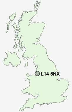
Postcode : L14 5NX, Knotty Ash, Liverpool, Merseyside
Thomas Lane, Liverpool.
L14 5NX close to Knotty Ash, Dovecot, Swanside and Broad Green.
Classification
L14 5NX : Constrained city dwellers / Ageing city dwellers / Retired independent city dwellers
Local Authority Liverpool
Primary Care Trust Liverpool
Ward Knotty Ash
Constituency Liverpool, West Derby
Region North West
Country England
Postcode Area L : Liverpool
L14 Postcode Sectors
L14 5NX Nearby Postcode Districts
CH41 CH42 CH43 CH44 CH45 CH46 CH47 CH48 CH49 CH60 CH61 CH62 CH63 L1 L10 L11 L12 L13 L14 L15 L16 L17 L18 L19 L2 L20 L21 L22 L23 L24 L25 L26 L27 L28 L29 L3 L30 L31 L32 L33 L34 L35 L36 L4 L5 L6 L69 L7 L70 L8 L9 WA1 WA10 WA11 WA12 WA2 WA3 WA4 WA5 WA7 WA8 WA9 WN4 WN7
Stations near to L14 5NX
Broad Green Rail Station about 0.68 miles away.Wavertree Technology Park Rail Station about 1.47 miles away.
Roby Rail Station about 1.58 miles away.
Huyton Rail Station about 2.1 miles away.
Mossley Hill Rail Station about 2.75 miles away.
West Allerton Rail Station about 3.32 miles away.
L14 5NX Schools
Blackmoor Park Infants' SchoolNorthway Primary and Nursery School
West Derby School
Rudston Junior School
Holly Lodge Girls' College
Childwall Valley Primary School
Mosspits Junior School
Mosspits Infant School
UK Search
Antique Jewellery
including Antique Engagement Rings for sale from UK Antique specialists.