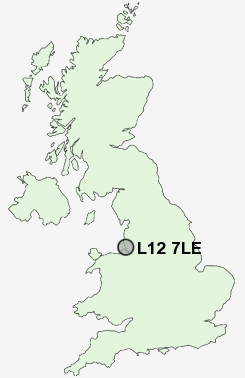
Postcode : L12 7LE, West Derby, Liverpool, Merseyside
Liverpool, Merseyside.
Classification
L12 7LE : Urbanites / Ageing urban living / Self-sufficient retirement
Local Authority Liverpool
Primary Care Trust Liverpool
Ward West Derby
Constituency Liverpool, West Derby
Region North West
Country England
Postcode Area L : Liverpool
L12 Postcode Sectors
L12 7LE Nearby Postcode Districts
CH41 CH42 CH43 CH44 CH45 CH46 CH47 CH48 CH49 CH61 CH62 CH63 L1 L10 L11 L12 L13 L14 L15 L16 L17 L18 L19 L2 L20 L21 L22 L23 L24 L25 L26 L27 L28 L29 L3 L30 L31 L32 L33 L34 L35 L36 L38 L4 L5 L6 L69 L7 L70 L8 L9 WA1 WA10 WA11 WA12 WA2 WA3 WA4 WA5 WA7 WA8 WA9 WN4
Stations near to L12 7LE
Broad Green Rail Station about 1.82 miles away.Edge Hill Rail Station about 2.11 miles away.
Rice Lane Rail Station about 2.73 miles away.
Walton (Merseyside) Rail Station about 2.75 miles away.
Fazakerley Rail Station about 2.92 miles away.
Orrell Park Rail Station about 2.97 miles away.
Mossley Hill Rail Station about 3.4 miles away.
Aintree Rail Station about 3.52 miles away.
L12 7LE Schools
Holly Lodge Girls' CollegeWest Derby School
Pinehurst Primary School Anfield
The Academy of St Francis of Assisi
The Academy of St Francis of Assisi
Ranworth Square Primary School
Whitefield Primary School
Northway Primary and Nursery School
UK Search
Antique Jewellery
including Antique Engagement Rings for sale from UK Antique specialists.