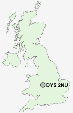
Postcode : DY5 2NU, Brierley Hill, Dudley, West Midlands
Brierley Hill, West Midlands.
DY5 2NU close to Silver End, Withymoor Village, Mushroom Green and Quarry Bank.
Classification
DY5 2NU : Suburbanites / Semi-detached suburbia / Semi-detached ageing
Local Authority Dudley
Primary Care Trust Dudley
Ward Lye and Stourbridge North
Constituency Stourbridge
Region West Midlands
Country England
Postcode Area DY : Dudley
DY5 Postcode Sectors
DY5 2NU Nearby Postcode Districts
B1 B10 B11 B12 B13 B14 B15 B16 B17 B18 B19 B2 B20 B21 B23 B24 B25 B26 B27 B28 B29 B3 B30 B31 B32 B33 B34 B35 B36 B37 B38 B4 B40 B42 B43 B44 B45 B47 B5 B6 B62 B63 B64 B65 B66 B67 B68 B69 B7 B70 B71 B72 B73 B76 B8 B9 B90 B91 B92 B93 DY1 DY10 DY11 DY12 DY14 DY2 DY3 DY4 DY5 DY6 DY7 DY8 DY9 WS10 WS5 WV14 WV15 WV16 WV4 WV5
Stations near to DY5 2NU
Lye (West Midlands) Rail Station about 0.55 miles away.Cradley Heath Rail Station about 1.14 miles away.
Stourbridge Town Rail Station about 1.33 miles away.
Stourbridge Junction Rail Station about 1.56 miles away.
Stourbridge Junction Rail Station about 1.56 miles away.
Hagley Rail Station about 3.36 miles away.
DY5 2NU Schools
Thorns Community CollegeThorns Primary School
Peters Hill Primary School
Pedmore Technology College and Community School
Redhill School and Specialist Language College
Colley Lane Primary School
The Wordsley School Business & Enterprise & Music College
Hob Green Primary School
UK Search
Antique Jewellery
including Antique Engagement Rings for sale from UK Antique specialists.