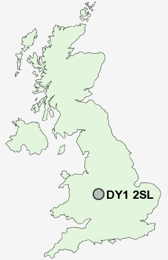
Postcode : DY1 2SL, Bewdley, Worcestershire
Aintree Way, Dudley.
DY1 2SL close to Stourport-on-Severn, London Fields, Lower Gornal, Dudley, Eve Hill and Russell's Hall.
Classification
DY1 2SL : Suburbanites / Suburban achievers / Indian tech achievers
Local Authority Dudley
Primary Care Trust Dudley
Ward St James's
Constituency Dudley North
Region West Midlands
Country England
Postcode Area DY : Dudley
DY1 Postcode Sectors
DY1 2SL Nearby Postcode Districts
B1 B10 B11 B12 B13 B14 B15 B16 B17 B18 B19 B2 B20 B21 B23 B24 B25 B26 B27 B28 B29 B3 B30 B32 B33 B34 B35 B36 B37 B4 B40 B42 B43 B44 B5 B6 B62 B63 B64 B65 B66 B67 B68 B69 B7 B70 B71 B72 B73 B74 B75 B76 B8 B9 B92 DY1 DY2 DY3 DY4 DY5 DY6 DY7 DY8 DY9 TF12 WS1 WS10 WS2 WS4 WS5 WS9 WV1 WV11 WV12 WV13 WV14 WV15 WV16 WV2 WV3 WV4 WV5 WV6
Stations near to DY1 2SL
Tipton Rail Station about 2.2 miles away.Coseley Rail Station about 2.31 miles away.
Cradley Heath Rail Station about 3.31 miles away.
DY1 2SL Schools
Milking Bank Primary SchoolRed Hall Primary School
Priory Primary
The Dormston School
Pensnett High School
The Hillcrest School and Community College
UK Search
Antique Jewellery
including Antique Engagement Rings for sale from UK Antique specialists.