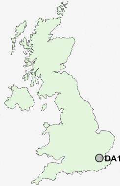
Postcode : DA11 9HB, Northfleet, Kent
High Street, Northfleet, Gravesend.
DA11 9HB close to Rosherville and Perry Street.
Classification
DA11 9HB : Constrained city dwellers / Challenged diversity / Hampered aspiration
Local Authority Gravesham
Primary Care Trust West Kent
Ward Northfleet North
Constituency Gravesham
Region South East
Country England
Postcode Area DA : Dartford
DA11 Postcode Sectors
DA11 9HB Nearby Postcode Districts
BR1 BR2 BR3 BR4 BR5 BR6 BR7 BR8 DA1 DA10 DA11 DA12 DA13 DA14 DA15 DA16 DA17 DA18 DA2 DA3 DA4 DA5 DA6 DA7 DA8 DA9 E1 E13 E14 E15 E16 E1W E2 E3 E6 E8 E9 IG11 ME1 ME2 ME3 ME4 ME5 ME7 ME8 RM10 RM13 RM15 RM16 RM17 RM18 RM19 RM20 RM9 SE10 SE12 SE13 SE14 SE15 SE16 SE18 SE2 SE20 SE23 SE26 SE28 SE3 SE4 SE6 SE7 SE8 SE9 SS17 SS8
Stations near to DA11 9HB
Northfleet Rail Station about 0.3 miles away.Ebbsfleet International Rail Station about 0.46 miles away.
Swanscombe Rail Station about 0.97 miles away.
Tilbury Town Rail Station about 1.55 miles away.
Gravesend Rail Station about 1.55 miles away.
Grays Rail Station about 2.19 miles away.
Chafford Hundred Rail Station about 3.37 miles away.
Longfield Rail Station about 3.63 miles away.
DA11 9HB Schools
Lawn Primary SchoolDover Road Community Primary School
Northfleet School for Girls
Cecil Road Primary and Nursery School
Painters Ash Primary School
Wrotham Road Primary School
Shears Green Infant School
Shears Green Junior School
UK Search
Antique Jewellery
including Antique Engagement Rings for sale from UK Antique specialists.