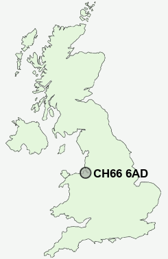
Postcode : CH66 6AD, Hooton, Cheshire West And Chester, Cheshire
Hooton Road, Hooton, Ellesmere Port.
Classification
CH66 6AD : Suburbanites / Semi-detached suburbia / White suburban communities
Local Authority Cheshire West and Chester
Primary Care Trust Western Cheshire
Ward Willaston and Thornton
Constituency Ellesmere Port and Neston
Region North West
Country England
Postcode Area CH : Chester
CH66 Postcode Sectors
CH66 6AD Nearby Postcode Districts
CH1 CH2 CH41 CH42 CH43 CH47 CH48 CH49 CH5 CH6 CH60 CH61 CH62 CH63 CH64 CH65 CH66 CH8 L15 L16 L17 L18 L19 L24 L25 L26 L27 L8 WA6 WA7 WA8
Stations near to CH66 6AD
Hooton Rail StationEastham Rake Rail Station about 0.66 miles away.
Little Sutton Rail Station about 1.65 miles away.
Bromborough Rail Station about 1.68 miles away.
Bromborough Rake Rail Station about 2.25 miles away.
Spital Rail Station about 2.96 miles away.
Capenhurst Rail Station about 3 miles away.
CH66 6AD Schools
Millfields Primary SchoolSouth Wirral High School
Childer Thornton Primary School
Heygarth Primary School
Brookhurst Primary School
Raeburn Primary School
Rossmore School
Sutton Green Primary School
UK Search
Antique Clocks
Browse Antique Clocks for sale from British antique dealers.