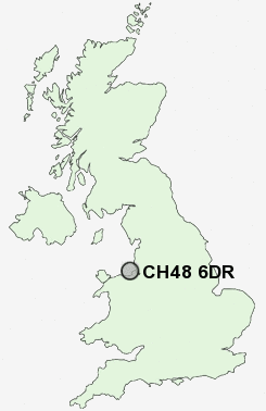
Postcode : CH48 6DR, Wirral, Merseyside
Saughall Massie Road, West Kirby, Wirral.
CH48 6DR close to Newton, Grange and West Kirby.
Classification
CH48 6DR : Hard-pressed living / Industrious communities / Industrious transitions
Local Authority Wirral
Primary Care Trust Wirral
Ward West Kirby and Thurstaston
Constituency Wirral West
Region North West
Country England
Postcode Area CH : Chester
CH48 Postcode Sectors
CH48 6DR Nearby Postcode Districts
CH41 CH42 CH43 CH44 CH45 CH46 CH47 CH48 CH49 CH60 CH61 CH62 CH63 CH64 CH8 L1 L10 L11 L12 L13 L14 L15 L16 L17 L18 L19 L2 L20 L21 L22 L24 L25 L26 L27 L28 L3 L34 L35 L36 L4 L5 L6 L69 L7 L70 L8 L9 LL18 LL19
Stations near to CH48 6DR
West Kirby Rail Station about 0.85 miles away.Hoylake Rail Station about 1.06 miles away.
Manor Road Rail Station about 1.23 miles away.
Meols Rail Station about 1.57 miles away.
CH48 6DR Schools
Black Horse Hill Junior SchoolBlack Horse Hill Infant School
Hilbre High School
Calday Grange Grammar School
West Kirby Primary School
West Kirby St Bridget's CofE Primary School
West Kirby Grammar School
Avalon School
Hoylake Holy Trinity CofE Primary School
Kingsmead School
UK Search
Antique Clocks
Browse Antique Clocks for sale from British antique dealers.