Postcode : CH42 0PH, Wirral, Merseyside
Elm Road, Higher Tranmere, Birkenhead.
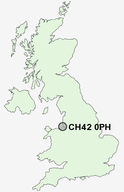
CH42 0PH close to Rock Ferry and Prenton.
Classification
CH42 0PH : Constrained city dwellers / Challenged diversity / Hampered aspiration
Local Authority Wirral
Primary Care Trust Wirral
Ward Birkenhead and Tranmere
Constituency Birkenhead
Region North West
Country England
Postcode Area CH : Chester
CH42 Postcode Sectors
CH42 0PH Nearby Postcode Districts
CH41 CH42 CH43 CH44 CH45 CH46 CH47 CH48 CH49 CH60 CH61 CH62 CH63 CH64 CH8 L1 L10 L11 L12 L13 L14 L15 L16 L17 L18 L19 L2 L20 L21 L22 L24 L25 L26 L27 L28 L3 L32 L34 L35 L36 L4 L5 L6 L69 L7 L70 L8 L9 LL19 WA10 WA11 WA12 WA5 WA7 WA8 WA9
Stations near to CH42 0PH
Green Lane Rail Station about 0.48 miles away.Birkenhead Central Rail Station about 0.72 miles away.
Conway Park Rail Station about 1.05 miles away.
Birkenhead Park Rail Station about 1.47 miles away.
Bebington Rail Station about 1.65 miles away.
Brunswick Rail Station about 2.01 miles away.
Birkenhead North Rail Station about 2.28 miles away.
Bromborough Rake Rail Station about 3.63 miles away.
CH42 0PH Schools
Mersey Park Primary SchoolWoodchurch Road Primary School
Rock Ferry Primary School
Prenton High School for Girls
Rock Ferry High School
Park High School
Bebington High Sports College
UK Search
Antique Clocks
Browse Antique Clocks for sale from British antique dealers.