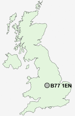
Postcode : B77 1EN, Two Gates, Staffordshire
Tamworth Road, Two Gates, Tamworth.
B77 1EN close to Two Gates, Wilnecote, Belgrave, Glascote, Dosthill and Bolehall.
Classification
B77 1EN : Suburbanites / Semi-detached suburbia / Older workers and retirement
Local Authority Tamworth
Primary Care Trust South Staffordshire
Ward Trinity
Constituency Tamworth
Region West Midlands
Country England
Postcode Area B : Birmingham
B77 Postcode Sectors
B77 1EN Nearby Postcode Districts
B23 B24 B35 B42 B43 B44 B70 B71 B72 B73 B74 B75 B76 B77 B78 B79 CV10 CV11 CV13 CV9 DY4 LE10 LE9 WS1 WS10 WS11 WS12 WS13 WS14 WS2 WS3 WS4 WS5 WS6 WS7 WS8 WS9 WV11 WV12 WV13 WV14
Stations near to B77 1EN
Wilnecote (Staffs) Rail Station about 0.36 miles away.Tamworth High Level Rail Station about 1.55 miles away.
Tamworth Rail Station about 1.55 miles away.
B77 1EN Schools
Two Gates Community Primary SchoolHanbury's Farm Community Primary School
Millfield Primary School
Oakhill Primary School
Wilnecote Junior School
The Woodlands Community Primary School
Heathfields Infant School
Ankermoor Primary School
Florendine Primary School
Manor Primary School
UK Search
Antique Clocks
Browse Antique Clocks for sale from British antique dealers.