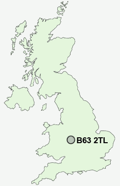
Postcode : B63 2TL, Halesowen, Dudley, West Midlands
Colley Lane, Halesowen, West Midlands.
B63 2TL close to Cradley, Belle Vale, Overend and Lutley.
Classification
B63 2TL : Hard-pressed living / Industrious communities / Industrious transitions
Local Authority Dudley
Primary Care Trust Dudley
Ward Cradley and Wollescote
Constituency Stourbridge
Region West Midlands
Country England
Postcode Area B : Birmingham
B63 Postcode Sectors
B63 2TL Nearby Postcode Districts
B1 B10 B11 B12 B13 B14 B15 B16 B17 B18 B19 B2 B20 B21 B23 B24 B25 B26 B27 B28 B29 B3 B30 B31 B32 B33 B34 B35 B36 B37 B38 B4 B40 B42 B43 B44 B45 B46 B47 B5 B6 B62 B63 B64 B65 B66 B67 B68 B69 B7 B70 B71 B72 B73 B76 B8 B9 B90 B91 B92 B93 DY1 DY10 DY11 DY12 DY14 DY2 DY3 DY4 DY5 DY6 DY7 DY8 DY9 WS10 WV14 WV15 WV16 WV5
Stations near to B63 2TL
Cradley Heath Rail Station about 0.62 miles away.Lye (West Midlands) Rail Station about 1.25 miles away.
Old Hill Rail Station about 1.44 miles away.
Stourbridge Junction Rail Station about 2.21 miles away.
Stourbridge Junction Rail Station about 2.21 miles away.
B63 2TL Schools
Colley Lane Primary SchoolTimbertree Primary School
Wollescote Primary School
Corngreaves Junior and Infant School
Old Hill Primary School
Reddal Hill Primary School
Thorns Primary School
Temple Meadow Primary School
Thorns Community College
Hob Green Primary School
UK Search
Antique Clocks
Browse Antique Clocks for sale from British antique dealers.