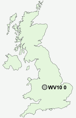
Postcode : WV10 0, Wolverhampton, West Midlands
Postcodes in the WV10 0 district. Covering areas such as Heath Town and Wolverhampton in West Midlands.
Postcode Area WV : Wolverhampton
WV10 Postcode Sectors
WV10 7 Brinsford, Calf Heath, Coven Heath, Cross Green, Featherstone
WV10 8 Bushbury, Westcroft
WV10 6 Fordhouses
WV10 8 Bushbury, Westcroft
WV10 6 Fordhouses
WV10 0 Nearby Postcode Districts
B19 B20 B21 B23 B24 B34 B35 B36 B42 B43 B44 B6 B69 B70 B71 B72 B73 B74 B75 B76 DY1 DY2 DY3 DY4 DY6 TF11 TF12 TF3 TF4 TF7 TF8 WS1 WS10 WS11 WS13 WS14 WS2 WS3 WS4 WS5 WS6 WS7 WS8 WS9 WV1 WV10 WV11 WV12 WV13 WV14 WV15 WV16 WV2 WV3 WV4 WV5 WV6 WV7 WV8 WV9
Stations near to WV10 0
Wolverhampton Rail Station about 0.48 miles away.Coseley Rail Station about 3.51 miles away.
WV10 0 Schools
Eastfield Primary SchoolHeath Park Business and Enterprise College
St Matthias School
Deyncourt Primary School
Moreton Community School
UK Search
Antique Furniture
1000s of pieces of Antique Furniture for sale from British antique dealers.