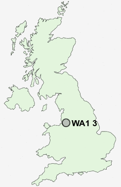
Postcode : WA1 3, Warrington, Cheshire
Postcodes in the WA1 3 district. Covering areas such as Paddington, Howley, Bruche and Warrington in Cheshire.
Postcode Area WA : Warrington
WA1 Postcode Sectors
WA1 3 Nearby Postcode Districts
L10 L11 L12 L13 L14 L15 L16 L17 L18 L19 L24 L25 L26 L27 L28 L32 L33 L34 L35 L36 L6 L7 M1 M11 M12 M13 M14 M15 M16 M17 M18 M19 M2 M20 M21 M22 M23 M3 M30 M31 M32 M33 M4 M41 M44 M5 M6 M60 M90 SK3 SK4 SK5 SK8 SK9 WA1 WA10 WA11 WA12 WA13 WA14 WA15 WA16 WA2 WA3 WA4 WA5 WA7 WA8 WA9 WN4 WN7
Stations near to WA1 3
Padgate Rail Station about 0.42 miles away.Birchwood Rail Station about 1.31 miles away.
Warrington Central Rail Station about 1.87 miles away.
WA1 3 Schools
Bruche Community Primary SchoolWoolston Community Primary School
Longbarn Community Primary School
Padgate Community High School
Brook Acre Community Primary School
Beamont Community Primary School
Birchwood Community High School
William Beamont Community High School
Locking Stumps Community Primary School
UK Search
Antique Furniture
1000s of pieces of Antique Furniture for sale from British antique dealers.