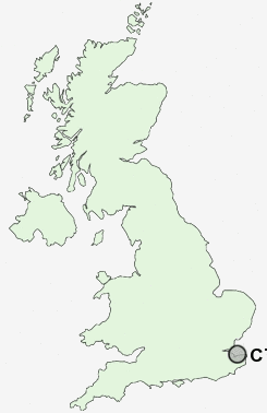
Postcode : CT6 7, Kent
Postcodes in the CT6 7 district. Covering areas such as Broomfield, Hunters Forstal, Greenhill, Herne Common, West End, Bullockstone, Herne, Lower Herne and Kent.
Postcode Area CT : Canterbury
CT6 Postcode Sectors
CT6 6 Beltinge, Bishopstone, Eddington, Hawthorn Corner, Hillborough
CT6 7 Broomfield, Bullockstone, Greenhill, Herne, Herne Common
CT6 7 Broomfield, Bullockstone, Greenhill, Herne, Herne Common
CT6 7 Nearby Postcode Districts
CT1 CT10 CT11 CT12 CT13 CT2 CT3 CT5 CT6 CT7 CT8 CT9 ME10 ME11 ME12 ME13 ME9
Stations near to CT6 7
Chestfield & Swalecliffe Rail Station about 1.42 miles away.Herne Bay Rail Station about 1.58 miles away.
Sturry Rail Station about 3.46 miles away.
CT6 7 Schools
Briary Primary SchoolHerne Bay High School
Hampton Primary School
Swalecliffe Community Primary School
St Philip Howard Catholic Primary School
UK Search
Antique Clocks
Browse Antique Clocks for sale from British antique dealers.