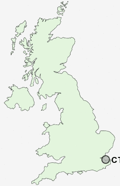
Postcode : CT5, Kent
Postcodes in the CT5 sector. Covering areas such as Chestfield, South Street, Pean Hill, Lower Island, Yorkletts, Clapham Hill, Whitstable, Tankerton, Seasalter, Radfall, Swalecliffe and Kent.
Postcode Area CT : Canterbury
CT5 Postcode Sectors
CT5 Nearby Postcode Districts
CT1 CT10 CT11 CT12 CT13 CT2 CT3 CT5 CT6 CT7 CT8 CT9 ME10 ME11 ME12 ME13 ME9
Stations near to CT5
Whitstable Rail Station about 0.35 miles away.Chestfield & Swalecliffe Rail Station about 1.39 miles away.
CT5 Schools
The Community College WhitstableSt Alphege Church of England Infant School
Whitstable Junior School
St Mary's Catholic Primary School
Westmeads Community Infant School
Whitstable and Seasalter Endowed Church of England Junior School
Joy Lane Primary School
Swalecliffe Community Primary School
UK Search
Antique Clocks
Browse Antique Clocks for sale from British antique dealers.