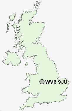
Postcode : WV6 9JU, Claregate, Wolverhampton, West Midlands
Chester Avenue, Wolverhampton.
WV6 9JU close to Claregate, Palmers Cross, Dunstall Hill, Stockwell End, Tettenhall and Newbridge.
Classification
WV6 9JU : Urbanites / Urban professionals and families / Multi-ethnic professionals with families
Local Authority Wolverhampton
Primary Care Trust Wolverhampton City
Ward Tettenhall Regis
Constituency Wolverhampton South West
Region West Midlands
Country England
Postcode Area WV : Wolverhampton
WV6 Postcode Sectors
WV6 9 Claregate, Palmers Cross, Stockwell End, Tettenhall
WV6 9JU Nearby Postcode Districts
B20 B23 B24 B35 B42 B43 B44 B70 B71 B72 B73 B74 B75 B76 DY1 DY3 DY4 TF1 TF11 TF12 TF2 TF3 TF4 TF7 TF8 WS1 WS10 WS11 WS12 WS13 WS14 WS2 WS3 WS4 WS5 WS6 WS7 WS8 WS9 WV1 WV10 WV11 WV12 WV13 WV14 WV15 WV16 WV2 WV3 WV4 WV5 WV6 WV7 WV8 WV9
Stations near to WV6 9JU
Bilbrook Rail Station about 1.68 miles away.Wolverhampton Rail Station about 2.05 miles away.
Codsall Rail Station about 2.35 miles away.
WV6 9JU Schools
Priory Green Primary SchoolBirches First School
Pendeford Business and Enterprise College
Perton Middle School
Lane Green First School
UK Search
Antique Furniture
1000s of pieces of Antique Furniture for sale from British antique dealers.