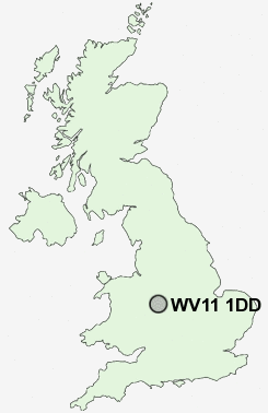
Postcode : WV11 1DD, Wednesfield, Wolverhampton, West Midlands
Mullett Road, Wolverhampton.
WV11 1DD close to Scotlands, Newbolds, Wood End and Wood Hayes.
Classification
WV11 1DD : Suburbanites / Semi-detached suburbia / Multi-ethnic suburbia
Local Authority Wolverhampton
Primary Care Trust Wolverhampton City
Ward Fallings Park
Constituency Wolverhampton North East
Region West Midlands
Country England
Postcode Area WV : Wolverhampton
WV11 Postcode Sectors
WV11 1DD Nearby Postcode Districts
B20 B23 B24 B35 B42 B43 B44 B70 B71 B72 B73 B74 B75 B76 DY1 DY3 DY4 TF11 TF12 TF2 TF3 TF4 TF7 TF8 WS1 WS10 WS11 WS12 WS13 WS14 WS2 WS3 WS4 WS5 WS6 WS7 WS8 WS9 WV1 WV10 WV11 WV12 WV13 WV14 WV15 WV16 WV2 WV3 WV4 WV5 WV6 WV7 WV8 WV9
Stations near to WV11 1DD
Wolverhampton Rail Station about 1.81 miles away.WV11 1DD Schools
Deyncourt Primary SchoolLong Knowle Primary School
Heath Park Business and Enterprise College
Moreton Community School
Wednesfield High School
Northwood Park Primary School
The Northicote School
St Matthias School
Eastfield Primary School
Fibbersley Park Primary School
UK Search
Antique Furniture
1000s of pieces of Antique Furniture for sale from British antique dealers.