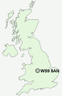
Postcode : WS9 8AN, Aldridge, Walsall, West Midlands
Middlemore Lane, Walsall, West Midlands.
WS9 8AN close to Leighswood, Stubber's Green and Barr Common.
Classification
WS9 8AN : Suburbanites / Semi-detached suburbia / White suburban communities
Local Authority Walsall
Primary Care Trust Walsall Teaching
Ward Aldridge Central and South
Constituency Aldridge-Brownhills
Region West Midlands
Country England
Postcode Area WS : Walssal
WS9 Postcode Sectors
WS9 8 Aldridge, Daw End, Leighswood, Stubber's Green, Vigo
WS9 0 Barr Common, Bourne Vale, Hardwick, Mill Green
WS9 0 Barr Common, Bourne Vale, Hardwick, Mill Green
WS9 8AN Nearby Postcode Districts
B20 B23 B24 B35 B42 B43 B44 B46 B70 B71 B72 B73 B74 B75 B76 B77 B78 B79 CV9 DY1 DY3 DY4 WS1 WS10 WS11 WS12 WS13 WS14 WS2 WS3 WS4 WS5 WS6 WS7 WS8 WS9 WV1 WV10 WV11 WV12 WV13 WV14 WV2 WV3 WV4 WV5 WV6 WV7 WV8 WV9
WS9 8AN Schools
Leighswood SchoolWhetstone Field Primary School
Radleys Primary School
Castlefort Junior Mixed and Infant School
Greenfield Primary School
Shelfield Sports and Community College
Rushall Primary School
Walsall Wood School
UK Search
Antique Furniture
1000s of pieces of Antique Furniture for sale from British antique dealers.