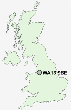
Postcode : WA13 9BE, Lymm, Warrington, Cheshire
Warrington Road, Lymm.
Classification
WA13 9BE : Suburbanites / Semi-detached suburbia / Semi-detached ageing
Local Authority Warrington
Primary Care Trust Warrington
Ward Lymm North and Thelwall
Constituency Warrington South
Region North West
Country England
Postcode Area WA : Warrington
WA13 Postcode Sectors
WA13 9BE Nearby Postcode Districts
L12 L14 L16 L24 L25 L26 L27 L28 L32 L34 L35 L36 M1 M11 M12 M13 M14 M15 M16 M17 M18 M19 M2 M20 M21 M22 M23 M3 M30 M31 M32 M33 M34 M41 M43 M44 M5 M90 SK1 SK2 SK3 SK4 SK5 SK7 SK8 SK9 WA1 WA10 WA11 WA12 WA13 WA14 WA15 WA16 WA2 WA3 WA4 WA5 WA7 WA8 WA9
Stations near to WA13 9BE
Birchwood Rail Station about 2.32 miles away.Glazebrook Rail Station about 3.4 miles away.
WA13 9BE Schools
Statham Community Primary SchoolCherry Tree Primary School
Ravenbank Community Primary School
Thelwall Community Junior School
Oughtrington Community Primary School
Lymm High Voluntary Controlled School
UK Search
Antique Furniture
1000s of pieces of Antique Furniture for sale from British antique dealers.