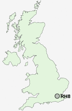
Postcode : RH8 0NZ, Limpsfield, Surrey
Downs Way, Oxted.
RH8 0NZ close to Limpsfield, Oxted and Titsey.
Classification
RH8 0NZ : Urbanites / Urban professionals and families / White professionals
Local Authority Tandridge
Primary Care Trust Surrey
Ward Oxted North and Tandridge
Constituency East Surrey
Region South East
Country England
Postcode Area RH : Redhill
RH8 Postcode Sectors
RH8 0NZ Nearby Postcode Districts
CR2 CR3 CR5 CR6 CR8 KT11 KT17 KT18 KT19 KT20 KT21 KT22 KT23 KT9 RH1 RH2 RH3 RH4 RH5 RH6 RH7 RH8 RH9 SM2 SM6 SM7 TN10 TN11 TN13 TN14 TN15 TN16 TN8 TN9
Stations near to RH8 0NZ
Oxted Rail Station about 0.46 miles away.Oxted Rail Station about 0.46 miles away.
Hurst Green Rail Station about 1.46 miles away.
Woldingham Rail Station about 2.62 miles away.
Godstone Rail Station about 3.68 miles away.
RH8 0NZ Schools
Downs Way SchoolSt Mary's CofE Junior School
Laverock School
Oxted School
Hazelwood School
Limpsfield CofE Infant School
Hurst Green Infant School
UK Search
Antique Furniture
1000s of pieces of Antique Furniture for sale from British antique dealers.