Postcode : RH5 6AA, Westhumble, Surrey
Dorking, Surrey, England.
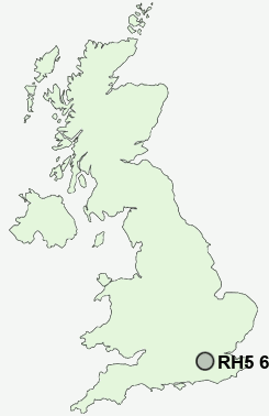
RH5 6AA close to Westhumble and Fredley.
Classification
RH5 6AA : Urbanites / Ageing urban living / Self-sufficient retirement
Local Authority Mole Valley
Primary Care Trust Surrey
Ward Mickleham, Westhumble and Pixham
Constituency Mole Valley
Region South East
Country England
Postcode Area RH : Redhill
RH5 Postcode Sectors
RH5 6 Abinger Common, Abinger Hammer, Broadmoor, Coldharbour, Fredley
RH5 4 Beare Green, Blackbrook, Deepdene, Holmwood Corner, Mid Holmwood
RH5 4 Beare Green, Blackbrook, Deepdene, Holmwood Corner, Mid Holmwood
RH5 6AA Nearby Postcode Districts
CR3 CR5 CR6 CR8 GU1 GU12 GU16 GU2 GU21 GU22 GU23 GU24 GU3 GU4 GU5 GU7 GU8 KT11 KT14 KT17 KT18 KT20 KT21 KT22 KT23 KT24 RH1 RH2 RH3 RH4 RH5 RH6 RH7 RH8 RH9 SM7 TN16
Stations near to RH5 6AA
Box Hill & Westhumble Rail Station about 0.43 miles away.Dorking Rail Station about 0.6 miles away.
Dorking Deepdene Rail Station about 0.72 miles away.
Dorking West Rail Station about 0.9 miles away.
RH5 6AA Schools
The Ashcombe SchoolSt Martin's CofE Controlled Primary School, Dorking
St Joseph's Catholic Primary School
St Paul's CofE (Aided) Primary School
Box Hill School
The Priory CofE Voluntary Aided School
St Michael's CofE Aided Infant School
Powell Corderoy Primary School
UK Search
Antique Furniture
1000s of pieces of Antique Furniture for sale from British antique dealers.