Postcode : RH4 3QF, Dorking, Surrey
School Lane, Westcott, Dorking.
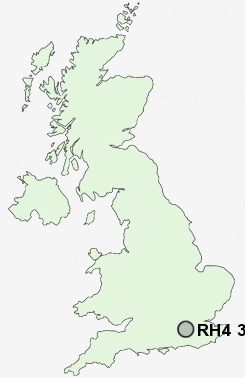
RH4 3QF close to Westcott and Logmore Green.
Classification
RH4 3QF : Suburbanites / Suburban achievers / Ageing in suburbia
Local Authority Mole Valley
Primary Care Trust Surrey
Ward Westcott
Constituency Mole Valley
Region South East
Country England
Postcode Area RH : Redhill
RH4 Postcode Sectors
RH4 3QF Nearby Postcode Districts
CR3 CR5 CR6 GU1 GU12 GU16 GU2 GU21 GU22 GU23 GU3 GU4 GU5 GU6 GU7 GU8 KT18 KT20 KT21 KT22 KT23 KT24 RH1 RH19 RH2 RH3 RH4 RH5 RH6 RH7 RH8 RH9 SM7
Stations near to RH4 3QF
Dorking West Rail Station about 1.19 miles away.Dorking Deepdene Rail Station about 1.83 miles away.
Dorking Rail Station about 1.92 miles away.
Box Hill & Westhumble Rail Station about 2.44 miles away.
Holmwood Rail Station about 3.48 miles away.
RH4 3QF Schools
Westcott CofE First SchoolPowell Corderoy Primary School
The Priory CofE Voluntary Aided School
St Joseph's Catholic Primary School
St Martin's CofE Controlled Primary School, Dorking
St Paul's CofE (Aided) Primary School
St John's CE Community Primary School
The Ashcombe School
UK Search
Antique Furniture
1000s of pieces of Antique Furniture for sale from British antique dealers.