Postcode : RH2 0LR, Wray Common, Surrey
Kendal Close, Reigate.
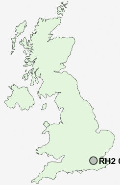
RH2 0LR close to Wray Common, Mead Vale and Reigate.
Classification
RH2 0LR : Urbanites / Ageing urban living / Delayed retirement
Local Authority Reigate and Banstead
Primary Care Trust Surrey
Ward Redhill West
Constituency Reigate
Region South East
Country England
Postcode Area RH : Redhill
RH2 Postcode Sectors
RH2 0LR Nearby Postcode Districts
CR3 CR5 CR6 CR8 GU1 GU21 GU22 GU23 GU4 GU5 KT11 KT14 KT17 KT18 KT20 KT21 KT22 KT23 KT24 RH1 RH2 RH3 RH4 RH5 RH6 RH7 RH8 RH9 SM7 TN13 TN14 TN16 TN8
Stations near to RH2 0LR
Redhill Rail Station about 0.74 miles away.Reigate Rail Station about 0.94 miles away.
Earlswood (Surrey) Rail Station about 1.21 miles away.
Merstham Rail Station about 2 miles away.
Nutfield Rail Station about 2.43 miles away.
Salfords (Surrey) Rail Station about 2.99 miles away.
RH2 0LR Schools
Wray Common Primary SchoolHolmesdale Community Infant School
St John's Primary School
Earlswood Infant and Nursery School
Reigate Priory Community Junior School
Earlswood Junior School
Orchards School
Dovers Green School
Merstham Primary School
Sandcross Primary School
UK Search
Antique Furniture
1000s of pieces of Antique Furniture for sale from British antique dealers.