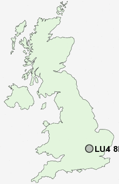
Postcode : LU4 8LD, Luton
Newark Road, Luton.
Classification
LU4 8LD : Multicultural metropolitans / Challenged Asian terraces / Pakistani communities
Local Authority Luton
Primary Care Trust Luton
Ward Saints
Constituency Luton North
Region Eastern
Country England
Postcode Area LU : Luton
LU4 Postcode Sectors
LU4 8LD Nearby Postcode Districts
AL5 AL6 AL7 AL8 HP19 HP20 HP21 HP22 HP23 LU1 LU2 LU3 LU4 LU5 LU6 LU7 MK2 SG1 SG14 SG2 SG3 SG4 SG5 SG6
Stations near to LU4 8LD
Leagrave Rail Station about 1.23 miles away.Luton Rail Station about 1.28 miles away.
Luton Airport Parkway Rail Station about 2.3 miles away.
LU4 8LD Schools
Maidenhall Primary SchoolDenbigh Primary School
Denbigh Infant School
Denbigh High School
William Austin Infant School
Challney High School for Boys and Community College
Challney High School for Girls
The Stockwood Park Academy
Caddington Village School
UK Search
Antique Jewellery
including Antique Engagement Rings for sale from UK Antique specialists.