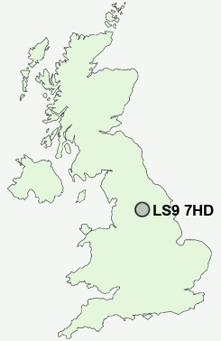
Postcode : LS9 7HD, Sheepscar, Leeds, West Yorkshire
Leeds, West Yorkshire.
LS9 7HD close to Sheepscar, Richmond Hill, Burmantofts, Harehills, Osmondthorpe and Knowsthorpe.
Classification
LS9 7HD : Ethnicity central / Ethnic dynamics / Constrained neighbourhoods
Local Authority Leeds
Primary Care Trust Leeds
Ward Burmantofts and Richmond Hill
Constituency Leeds Central
Region Yorkshire and The Humber
Country England
Postcode Area LS : Leeds
LS9 Postcode Sectors
LS9 7HD Nearby Postcode Districts
BD1 BD10 BD11 BD12 BD13 BD14 BD15 BD16 BD17 BD18 BD19 BD2 BD21 BD3 BD4 BD5 BD6 BD7 BD8 BD9 HX1 HX2 HX3 LS1 LS10 LS11 LS12 LS13 LS14 LS15 LS16 LS17 LS18 LS19 LS2 LS20 LS24 LS25 LS26 LS27 LS28 LS3 LS4 LS5 LS6 LS7 LS8 LS9 WF10 WF11 WF15 WF16 WF17 WF3
Stations near to LS9 7HD
Leeds Rail Station about 1.15 miles away.LS9 7HD Schools
Primrose High SchoolVictoria Primary School
Woodlands Primary School
Oakwood Primary School
Wykebeck Primary School
Meadowfield Primary School
City of Leeds School
Mill Field Primary School
UK Search
Antique Jewellery
including Antique Engagement Rings for sale from UK Antique specialists.