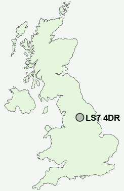
Postcode : LS7 4DR, Leeds, West Yorkshire
Cowper Street, Leeds.
LS7 4DR close to Gledhow and Potternewton.
Classification
LS7 4DR : Ethnicity central / Ethnic family life / Established renting families
Local Authority Leeds
Primary Care Trust Leeds
Ward Chapel Allerton
Constituency Leeds North East
Region Yorkshire and The Humber
Country England
Postcode Area LS : Leeds
LS7 Postcode Sectors
LS7 4DR Nearby Postcode Districts
BD1 BD10 BD11 BD12 BD13 BD14 BD15 BD16 BD17 BD18 BD19 BD2 BD21 BD3 BD4 BD5 BD6 BD7 BD8 BD9 HX1 HX2 HX3 LS1 LS10 LS11 LS12 LS13 LS14 LS15 LS16 LS17 LS18 LS19 LS2 LS20 LS21 LS23 LS24 LS25 LS26 LS27 LS28 LS3 LS4 LS5 LS6 LS7 LS8 LS9 WF10 WF17 WF3
Stations near to LS7 4DR
Leeds Rail Station about 1.54 miles away.Burley Park Rail Station about 1.99 miles away.
LS7 4DR Schools
Primrose High SchoolWoodlands Primary School
Mill Field Primary School
Oakwood Primary School
City of Leeds School
Roundhay School
Victoria Primary School
Carr Manor Community School, Specialist Sports College
Wykebeck Primary School
Allerton Grange School
UK Search
Antique Jewellery
including Antique Engagement Rings for sale from UK Antique specialists.