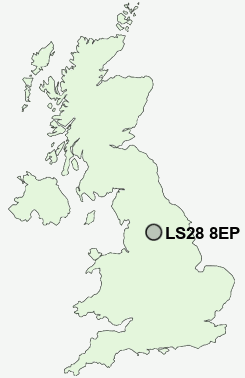
Postcode : LS28 8EP, Pudsey, Leeds, West Yorkshire
Moorland Grove, Pudsey.
LS28 8EP close to Hillfoot, Priesthorpe and Woodhall Hills.
Classification
LS28 8EP : Multicultural metropolitans / Asian traits / Achieving minorities
Local Authority Leeds
Primary Care Trust Leeds
Ward Calverley and Farsley
Constituency Pudsey
Region Yorkshire and The Humber
Country England
Postcode Area LS : Leeds
LS28 Postcode Sectors
LS28 5 Bagley, Calverley, Farsley, Farsley Beck Bottom, Intake
LS28 8 Fulneck, Hillfoot
LS28 9 Hough Side, Swinnow Moor, Troydale
LS28 8 Fulneck, Hillfoot
LS28 9 Hough Side, Swinnow Moor, Troydale
LS28 8EP Nearby Postcode Districts
BD1 BD10 BD11 BD12 BD13 BD14 BD15 BD16 BD17 BD18 BD19 BD2 BD20 BD21 BD22 BD3 BD4 BD5 BD6 BD7 BD8 BD9 HD6 HX1 HX2 HX3 HX7 LS1 LS10 LS11 LS12 LS13 LS14 LS15 LS16 LS17 LS18 LS19 LS2 LS20 LS25 LS26 LS27 LS28 LS3 LS4 LS5 LS6 LS7 LS8 LS9 WF10 WF15 WF16 WF17 WF3
Stations near to LS28 8EP
New Pudsey Rail Station about 0.56 miles away.LS28 8EP Schools
Priesthorpe SchoolFarsley Farfield Primary School
Pudsey Waterloo Primary
Westroyd Primary School and Nursery
Pudsey Primrose Hill Primary School
Greenside Primary School
Pudsey Grangefield School
Crawshaw School
Lowtown Primary School
Valley View Community Primary School
Calverley Parkside Primary School
UK Search
Antique Jewellery
including Antique Engagement Rings for sale from UK Antique specialists.