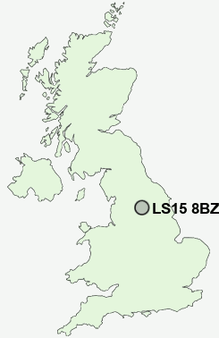
Postcode : LS15 8BZ, Manston, Leeds, West Yorkshire
Station Road, Cross Gates, Leeds.
LS15 8BZ close to Manston, Cross Gates, Whitkirk, Stanks, Austhorpe and Brown Moor.
Classification
LS15 8BZ : Constrained city dwellers / Ageing city dwellers / Ageing communities and families
Local Authority Leeds
Primary Care Trust Leeds
Ward Cross Gates and Whinmoor
Constituency Leeds East
Region Yorkshire and The Humber
Country England
Postcode Area LS : Leeds
LS15 Postcode Sectors
LS15 4 Arthursdale, Barnbow Carr, Barwick in Elmet, Kiddal Lane End, Potterton
LS15 8 Austhorpe, Brown Moor, Manston, Pendas Fields, Stanks
LS15 9 Colton, Newsam Green, Whitkirk
LS15 8 Austhorpe, Brown Moor, Manston, Pendas Fields, Stanks
LS15 9 Colton, Newsam Green, Whitkirk
LS15 8BZ Nearby Postcode Districts
BD1 BD10 BD11 BD12 BD14 BD15 BD16 BD17 BD18 BD19 BD2 BD3 BD4 BD5 BD6 BD7 BD8 BD9 HX3 LS1 LS10 LS11 LS12 LS13 LS14 LS15 LS16 LS17 LS18 LS19 LS2 LS20 LS23 LS24 LS25 LS26 LS27 LS28 LS3 LS4 LS5 LS6 LS7 LS8 LS9 WF10 WF11 WF15 WF16 WF17 WF3 YO8
Stations near to LS15 8BZ
Cross Gates Rail StationWoodlesford Rail Station about 3.33 miles away.
LS15 8BZ Schools
Cross Gates Primary SchoolTemplenewsam Halton Primary School
Temple Moor High School Science College
Manston Primary School
Austhorpe Primary School
Colton Primary School
John Smeaton Community High School
Parklands Girls' High School
David Young Community Academy
David Young Community Academy
Wykebeck Primary School
White Laith Primary School
UK Search
Antique Jewellery
including Antique Engagement Rings for sale from UK Antique specialists.