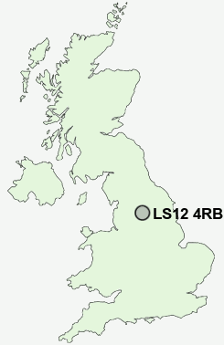
Postcode : LS12 4RB, Wortley, Leeds, West Yorkshire
Swallow Crescent, Leeds.
LS12 4RB close to Wortley, Farnley, Gamble Hill, Far Royds, Green Side and Armley.
Classification
LS12 4RB : Hard-pressed living / Challenged terraced workers / Deprived blue-collar terraces
Local Authority Leeds
Primary Care Trust Leeds
Ward Farnley and Wortley
Constituency Leeds West
Region Yorkshire and The Humber
Country England
Postcode Area LS : Leeds
LS12 Postcode Sectors
LS12 2 Armley, Hill Top
LS12 6 Beeston Royds, Far Royds, New Wortley
LS12 5 Farnley, New Farnley, Upper Moor Side
LS12 6 Beeston Royds, Far Royds, New Wortley
LS12 5 Farnley, New Farnley, Upper Moor Side
LS12 4RB Nearby Postcode Districts
BD1 BD10 BD11 BD12 BD13 BD14 BD15 BD16 BD17 BD18 BD19 BD2 BD21 BD22 BD3 BD4 BD5 BD6 BD7 BD8 BD9 HD6 HX1 HX2 HX3 HX6 LS1 LS10 LS11 LS12 LS13 LS14 LS15 LS16 LS17 LS18 LS19 LS2 LS20 LS24 LS25 LS26 LS27 LS28 LS3 LS4 LS5 LS6 LS7 LS8 LS9 WF10 WF11 WF15 WF16 WF17 WF3 WF6
Stations near to LS12 4RB
Bramley (West Yorks) Rail Station about 1.57 miles away.Burley Park Rail Station about 1.8 miles away.
Cottingley Rail Station about 1.83 miles away.
Headingley Rail Station about 1.85 miles away.
Morley Rail Station about 2.97 miles away.
LS12 4RB Schools
Wortley High SchoolRyecroft Primary School
Lower Wortley Primary School
Lawns Park Primary School
Greenhill Primary School
FARNLEY PARK MATHS & COMPUTING COLLEGE
Armley Primary School
Hollybush Primary
Cottingley Primary School
Whitecote Primary School
UK Search
Antique Jewellery
including Antique Engagement Rings for sale from UK Antique specialists.