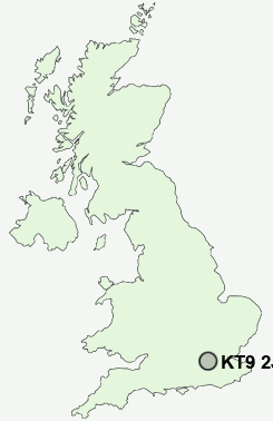
Postcode : KT9 2JR, Barwell, Greater London, Kingston Upon Thames, Greater London
Garrison Lane, Chessington.
KT9 2JR close to Barwell, Chessington and Hook.
Classification
KT9 2JR : Ethnicity central / Ethnic dynamics / Constrained neighbourhoods
Local Authority Kingston upon Thames
Primary Care Trust Kingston
Ward Chessington South
Constituency Kingston and Surbiton
Region London
Country England
Postcode Area KT : Kingston Upon Thames
KT9 Postcode Sectors
KT9 2JR Nearby Postcode Districts
BR1 BR2 BR3 BR4 BR7 CR0 CR2 CR3 CR4 CR5 CR6 CR7 CR8 GU18 GU19 GU20 GU21 GU22 GU23 GU24 GU25 KT1 KT10 KT11 KT12 KT13 KT14 KT15 KT16 KT17 KT18 KT19 KT2 KT20 KT21 KT22 KT23 KT24 KT3 KT4 KT5 KT6 KT7 KT8 KT9 SE12 SE19 SE20 SE21 SE22 SE23 SE24 SE25 SE26 SE27 SE6 SE9 SL5 SM1 SM2 SM3 SM4 SM5 SM6 SM7 SW12 SW16 SW17 SW18 SW19 SW2 SW20 TN16 TW1 TW10 TW11 TW12 TW13 TW14 TW15 TW16 TW17 TW18 TW19 TW2 TW20
Stations near to KT9 2JR
Chessington South Rail StationChessington North Rail Station about 0.58 miles away.
Claygate Rail Station about 1.8 miles away.
Epsom Rail Station about 2.26 miles away.
Esher Rail Station about 2.56 miles away.
Ashtead Rail Station about 2.68 miles away.
Berrylands Rail Station about 3.14 miles away.
Hampton Court Rail Station about 3.52 miles away.
KT9 2JR Schools
Ellingham Primary SchoolCastle Hill Primary School
Danetree Junior School
Southfield Park Primary School
Claygate Primary School
Stamford Green Primary School
West Ewell Primary School and Nursery
Hinchley Wood Primary School
Long Ditton Infant and Nursery School
UK Search
Antique Jewellery
including Antique Engagement Rings for sale from UK Antique specialists.