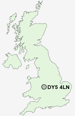
Postcode : DY5 4LN, Brierley Hill, Dudley, West Midlands
Tiled House Lane, Brierley Hill.
DY5 4LN close to Bromley, Pensnett and Brockmoor.
Classification
DY5 4LN : Hard-pressed living / Industrious communities / Industrious hardship
Local Authority Dudley
Primary Care Trust Dudley
Ward Brockmoor and Pensnett
Constituency Dudley South
Region West Midlands
Country England
Postcode Area DY : Dudley
DY5 Postcode Sectors
DY5 4LN Nearby Postcode Districts
B1 B10 B11 B12 B13 B14 B15 B16 B17 B18 B19 B2 B20 B21 B23 B24 B25 B26 B27 B28 B29 B3 B30 B31 B32 B33 B34 B35 B36 B37 B38 B4 B42 B43 B44 B5 B6 B62 B63 B64 B65 B66 B67 B68 B69 B7 B70 B71 B72 B73 B74 B75 B76 B8 B9 B90 B91 B92 DY1 DY2 DY3 DY4 DY5 DY6 DY7 DY8 DY9 WS1 WS10 WS2 WS5 WV1 WV13 WV14 WV15 WV16 WV2 WV3 WV4 WV5
Stations near to DY5 4LN
Lye (West Midlands) Rail Station about 2.64 miles away.Cradley Heath Rail Station about 2.72 miles away.
Stourbridge Town Rail Station about 2.75 miles away.
Stourbridge Junction Rail Station about 3.31 miles away.
Stourbridge Junction Rail Station about 3.31 miles away.
DY5 4LN Schools
Pensnett High SchoolCrestwood Park Primary School
The Crestwood School
The Wordsley School Business & Enterprise & Music College
Fairhaven Primary School
Glynne Primary School
Red Hall Primary School
Milking Bank Primary School
UK Search
Antique Jewellery
including Antique Engagement Rings for sale from UK Antique specialists.