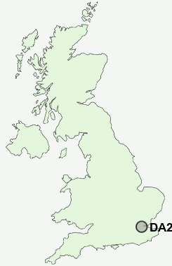
Postcode : DA2 8DL, Green Street Green, Kent
Green Street Green, Dartford, Kent.
DA2 8DL close to Green Street Green, Bean and Stonewood.
Classification
DA2 8DL : Hard-pressed living / Industrious communities / Industrious transitions
Local Authority Dartford
Primary Care Trust West Kent
Ward Bean and Darenth
Constituency Dartford
Region South East
Country England
Postcode Area DA : Dartford
DA2 Postcode Sectors
DA2 8DL Nearby Postcode Districts
BR1 BR2 BR3 BR4 BR5 BR6 BR7 BR8 CR0 CR2 CR7 CR8 DA1 DA10 DA11 DA12 DA13 DA14 DA15 DA16 DA17 DA18 DA2 DA3 DA4 DA5 DA6 DA7 DA8 DA9 E1 E14 E16 E1W EC2M EC2N EC2R EC2V EC3 EC3A EC3M EC3N EC3R EC3V EC4 EC4A EC4M EC4N EC4R EC4V EC4Y ME1 ME2 ME3 ME4 ME5 ME6 ME7 ME8 RM15 RM16 RM17 RM18 RM19 RM20 SE1 SE10 SE11 SE12 SE13 SE14 SE15 SE16 SE17 SE18 SE19 SE2 SE20 SE21 SE22 SE23 SE24 SE25 SE26 SE27 SE28 SE3 SE4 SE5 SE6 SE7 SE8 SE9 SW2 SW9 WC1V WC2 WC2A WC2B WC2E WC2R
Stations near to DA2 8DL
Longfield Rail Station about 1.83 miles away.Farningham Road Rail Station about 2.1 miles away.
Greenhithe for Bluewater Rail Station about 2.24 miles away.
Stone Crossing Rail Station about 2.37 miles away.
Swanscombe Rail Station about 2.57 miles away.
Ebbsfleet International Rail Station about 2.57 miles away.
Northfleet Rail Station about 2.81 miles away.
DA2 8DL Schools
Darenth Community Primary SchoolBean Primary School
Fleetdown Infant School
Fleetdown Junior School
UK Search
Antique Jewellery
including Antique Engagement Rings for sale from UK Antique specialists.