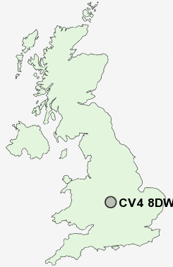
Postcode : CV4 8DW, Coventry, West Midlands
Mitchell Avenue, Coventry.
CV4 8DW close to Kirby Corner, Lime Tree Park, Westwood Heath, Tile Hill and Whoberley.
Classification
CV4 8DW : Constrained city dwellers / Challenged diversity / Multi-ethnic hardship
Local Authority Coventry
Primary Care Trust Coventry Teaching
Ward Westwood
Constituency Coventry South
Region West Midlands
Country England
Postcode Area CV : Coventry
CV4 Postcode Sectors
CV4 8DW Nearby Postcode Districts
B1 B10 B11 B12 B13 B14 B15 B16 B17 B18 B2 B25 B26 B27 B28 B29 B3 B30 B33 B37 B38 B4 B40 B47 B48 B5 B66 B7 B8 B9 B90 B91 B92 B93 B94 B97 B98 CV1 CV12 CV2 CV21 CV22 CV23 CV3 CV32 CV4 CV5 CV6 CV7 CV8 LE17
Stations near to CV4 8DW
Canley Rail Station about 0.99 miles away.Tile Hill Rail Station about 1.17 miles away.
CV4 8DW Schools
Charter Primary SchoolThe Westwood School - A Technology College
Templars Primary School
Tile Hill Wood School and Language College
St Christopher Primary School
Allesley Hall Primary School
The Woodlands School
Earlsdon Primary School
Hearsall Community Primary School
UK Search
Antique Clocks
Browse Antique Clocks for sale from British antique dealers.