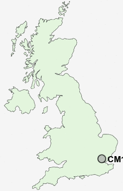
Postcode : CM15 8EE, Brentwood, Essex
Middleton Hall Lane, Brentwood.
Classification
CM15 8EE : Urbanites / Ageing urban living / Delayed retirement
Local Authority Brentwood
Primary Care Trust South West Essex
Ward Brentwood South
Constituency Brentwood and Ongar
Region Eastern
Country England
Postcode Area CM : Chelmsford
CM15 Postcode Sectors
CM15 8EE Nearby Postcode Districts
CM11 CM12 CM13 CM14 CM15 CM16 CM4 E10 E11 E12 E13 E15 E17 E18 E2 E3 E4 E5 E6 E7 E8 E9 EC2A EN1 EN3 EN7 EN8 EN9 IG1 IG10 IG11 IG2 IG3 IG4 IG5 IG6 IG7 IG8 IG9 N15 N16 N17 N18 N9 RM1 RM10 RM11 RM12 RM13 RM14 RM2 RM3 RM4 RM5 RM6 RM7 RM8 RM9 SS0 SS11 SS12 SS13 SS14 SS15 SS16 SS17 SS5 SS6 SS7 SS8 SS9
Stations near to CM15 8EE
Brentwood Rail Station about 0.66 miles away.Shenfield Rail Station about 1.1 miles away.
CM15 8EE Schools
Brentwood County High SchoolHogarth Primary School
Sawyers Hall College
Holly Trees Primary School
Warley Primary School
Herington House School
St Martin's School
Larchwood Primary School
Shenfield High School
Long Ridings Primary School
Ursuline Preparatory School
Willowbrook Primary School
UK Search
Antique Clocks
Browse Antique Clocks for sale from British antique dealers.